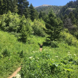
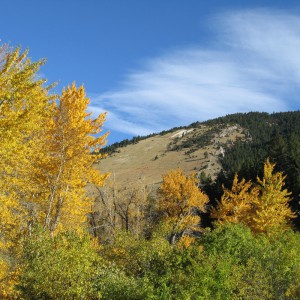
Middle Cottonwood Creek Trail Rated: [usr 4] Difficulty: [ms_label background_color=”#1e73be” ]MODERATE[/ms_label] Middle Cottonwood Creek Trail is a 5.1 mile heavily trafficked out and back trail. The trail initially is a rather slight incline and makes for a nice hike along Middle Cottonwood Creek with cascades, small waterfalls and pools on the west side of
Read More...Category : Trails
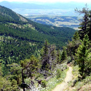
Sypes Canyon Trail Rated: [usr 4] Difficulty: [ms_label background_color=”#1e73be” ]MODERATE[/ms_label] Sypes Canyon Trail is a 6.2 mile trail that follows a creek-fed canyon on the west side of the Bridger Mountains. Note that the creek is seasonal, and is usually dry by mid July. The trailhead is at the end of Sypes Canyon Road,
Read More...Category : Trails
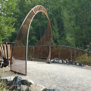
Highland Glen Nature Preserve Trail Rated: [usr 4] Difficulty: [ms_label background_color=”#1e73be” ]MODERATE[/ms_label] The Highland Glen Nature Preserve Trail is an interconnected series of trails located across from Bozeman Deaconess Hospital. Highland Glen Nature Preserve is for people and wildlife just minutes from downtown Bozeman. With over five miles of single-track trails offering spectacular views of
Read More...Category : Trails
Bozeman Sourdough Trail Rated: [usr 4] Difficulty: [ms_label background_color=”#81d742″ ] EASY [/ms_label] The Bozeman Sourdough Trail runs from Fairway Dr (just south of Kagy) all the way to Goldenstein. The Bozeman Sourdough Trail is flat dirt trail,that provides plenty of shade. If you have a dog with you, there is a creek in Graf Park for
Read More...Category : Trails
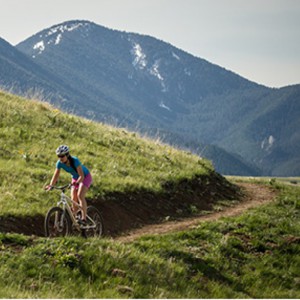
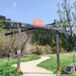
Drinking Horse Trail Rated: [usr 4] Difficulty: [ms_label background_color=”#1e73be” ]MODERATE[/ms_label] The Drinking Horse Mountain trail is quickly becoming one of the most popular Bozeman Hiking Trails. Climbing 700 feet from Bridger Creek to the 5,522 foot summit of Drinking Horse Mountain, the figure-eight loop trail offers scenic vistas in the Bozeman area and surrounding mountain
Read More...Category : Activities , Places , Trails
Bozeman has an award-winning urban trail system that will eventually form a pathway across the valley from the southern mountains to the “M” in the Bridger Mountains in the north. A map of the trail system can be obtained from Bozeman City Parks and Recreation (located in Beall Park – 409 N. Bozeman Ave.). Some
Read More...Category : Activities , Featured , Trails
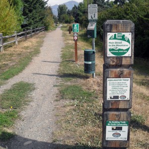
Bozeman Gallagator Trail Rated: [usr 4] Difficulty: [ms_label background_color=”#81d742″ ] EASY [/ms_label] The Gallagator Linear Trail runs diagonally for more than 1.5 miles through the east side of Bozeman. The trail, which has a crushed stone surface for the vast majority of its route but is paved at its north end, is popular with families on
Read More...Category : Trails
Bozeman College M Trail Rated: [usr 4] Difficulty: [ms_label background_color=”#1e73be” ]MODERATE[/ms_label] The 250-foot white rock “M” was created in 1915 by MSU students. The “M” trail is accessed via the trailhead at Route 86 in Bridger Canyon. The right fork leading to the M is steep, following the ridge. The left fork is a
Read More...Category : Activities , Places , Trails
Peet’s Hill & Holly Cherry Loop Rated: [usr 4] Difficulty: [ms_label background_color=”#81d742″ ] EASY [/ms_label] Peets Hill at Burke Park is a very popular Bozeman Hiking Trail among locals and is one of the best spots in town to get a panoramic view of Bozeman and the Gallatin Valley. During the winter Peet’s Hill is a popular
Read More...Category : Trails