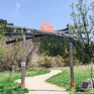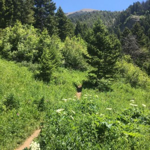
Middle Cottonwood Creek Trail
Middle Cottonwood Creek Trail Rated: [usr 4] Difficulty: [ms_label background_color=”#1e73be” ]MODERATE[/ms_label] Middle Cottonwood Creek Trail is a 5.1 mile heavily trafficked out and back trail. The trail initially is a rather slight incline and makes for a nice hike along Middle Cottonwood Creek with cascades, small waterfalls and pools on the west side of
Read More...Category : Trails
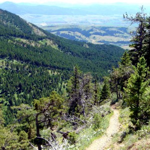
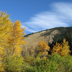
Sypes Canyon Trail
Sypes Canyon Trail Rated: [usr 4] Difficulty: [ms_label background_color=”#1e73be” ]MODERATE[/ms_label] Sypes Canyon Trail is a 6.2 mile trail that follows a creek-fed canyon on the west side of the Bridger Mountains. Note that the creek is seasonal, and is usually dry by mid July. The trailhead is at the end of Sypes Canyon Road,
Read More...Category : Trails
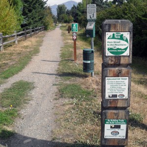
Sourdough Trail
Bozeman Sourdough Trail Rated: [usr 4] Difficulty: [ms_label background_color=”#81d742″ ] EASY [/ms_label] The Bozeman Sourdough Trail runs from Fairway Dr (just south of Kagy) all the way to Goldenstein. The Bozeman Sourdough Trail is flat dirt trail,that provides plenty of shade. If you have a dog with you, there is a creek in Graf Park for
Read More...